-40%
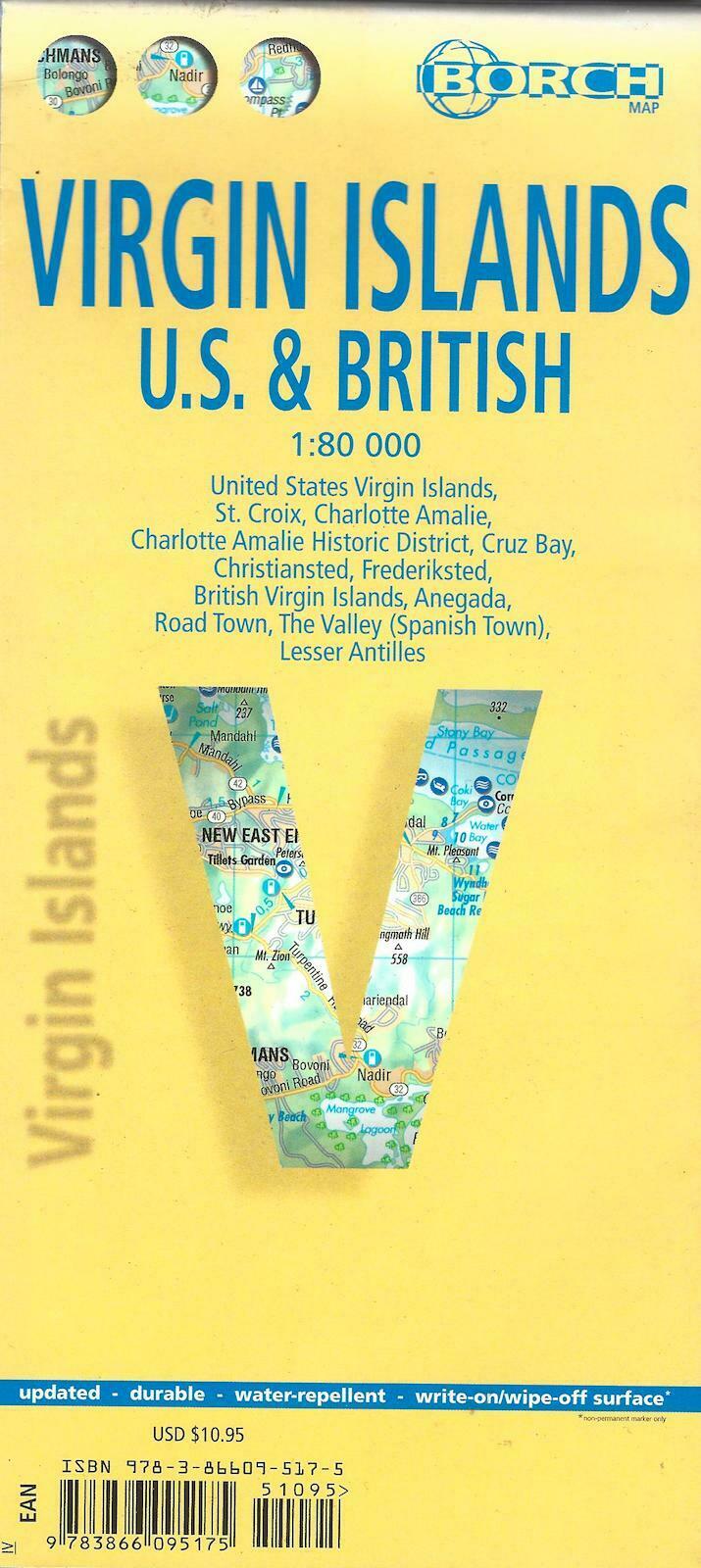
Map of Virgin Islands (U.S. & British), Laminated & Folded by Borch Maps
$ 3.14
- Description
- Size Guide
Description
Map of Virgin Islands (U.S. & British), Laminated & Folded by Borch MapsFolded laminated road and travel map, in color. Scale 1:80,000. Legend includes sights, museums, churches, synagogues, archaeological sites, castles, ruins, windmills, towers, caves, beaches, yachting, windsurfing, snorkeling, scuba diving, hospitals, golf courses, parking, petrol stations, international/regional airports, national parks, national monuments, nature reserves, camping sites, viewpoints, hotels, markets, cliffs, reefs. Includes inset map of St. Croix (1:80,000), Charlotte Amalie (1:15,000), Charlotte Amalie Historic District (1:7,500), Cruz bay (1:15,000), Christiansted (1:15,000), Frederiksted (1:15,000), Anegada (1:80,000), Road Town (1:15,000), The Valley (Spanish Town), Lesser Antilles (1:7,000,000). Climate charts show the average daily temperatures, humidity, hours of sunshine and precipitation for each month.
Extensive index
.
Legend in 5 languages, including
English
.
Map is lightweight and printed on tear resistant laminated paper. Map measures approx. 18" x 25" when unfolded.
Copyright 2014, ISBN
9783866095175
