-40%
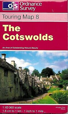
Map of The Cotswolds, Map #8, by Ordnance Survey
$ 3.14
- Description
- Size Guide
Description
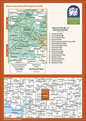
Map of The Cotswolds, Map #8, by Ordnance SurveyThe Cotswolds on a detailed topographic, paper map, from the Ordnance Survey’s 1:63,360 Touring series. Centered on Bourton-on-the-Water, the map extends north beyond Chipping Campden and south to Cirencester. Coverage includes Stow-on-the-Wold, Moreton-in-Marsh, Turkdean, Northleach, Burford, Carterton, etc. The are is criss-crossed by numerous trails: the Cotswold Way National Trail, Monarch’s Way, Macmillan’s Way, etc.
The Ordnance Survey, or OS, is England's premier government mapping agency. These maps are extremely detailed and indexed.
Map is printed on heavy duty paper, and comes with a cardboard cover and extensive legend. Map measures approx. 36" x 40" when unfolded.
Original copyright 1997, ISBN
9780319250242
Map is 'used' but in great condition. Does have some annotation from past owner.
