-40%
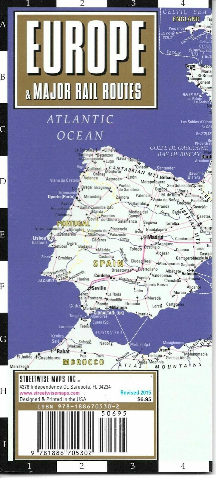
Map of European Railways, by ITMB (Waterproof & tear resistant)
$ 2.61
- Description
- Size Guide
Description
Map of European Railways, by ITMB (Waterproof & tear resistant)Waterproof, tear-resistant railway map of the European continent in color. Scale 1:3,350,000. Shows railway lines; roads from motorways to secondary roads and other roads; important ferries and shipping lines; international borders; boundaries of territories with travel restrictions; mountains with height in meters. With index of places; chart showing each country's flag, capital city, population, and land area. Scale 1:3,350,000. Distances in kilometers and miles. Printed on two sides.
Publication date: 2007, ISBN
978-1553410362

